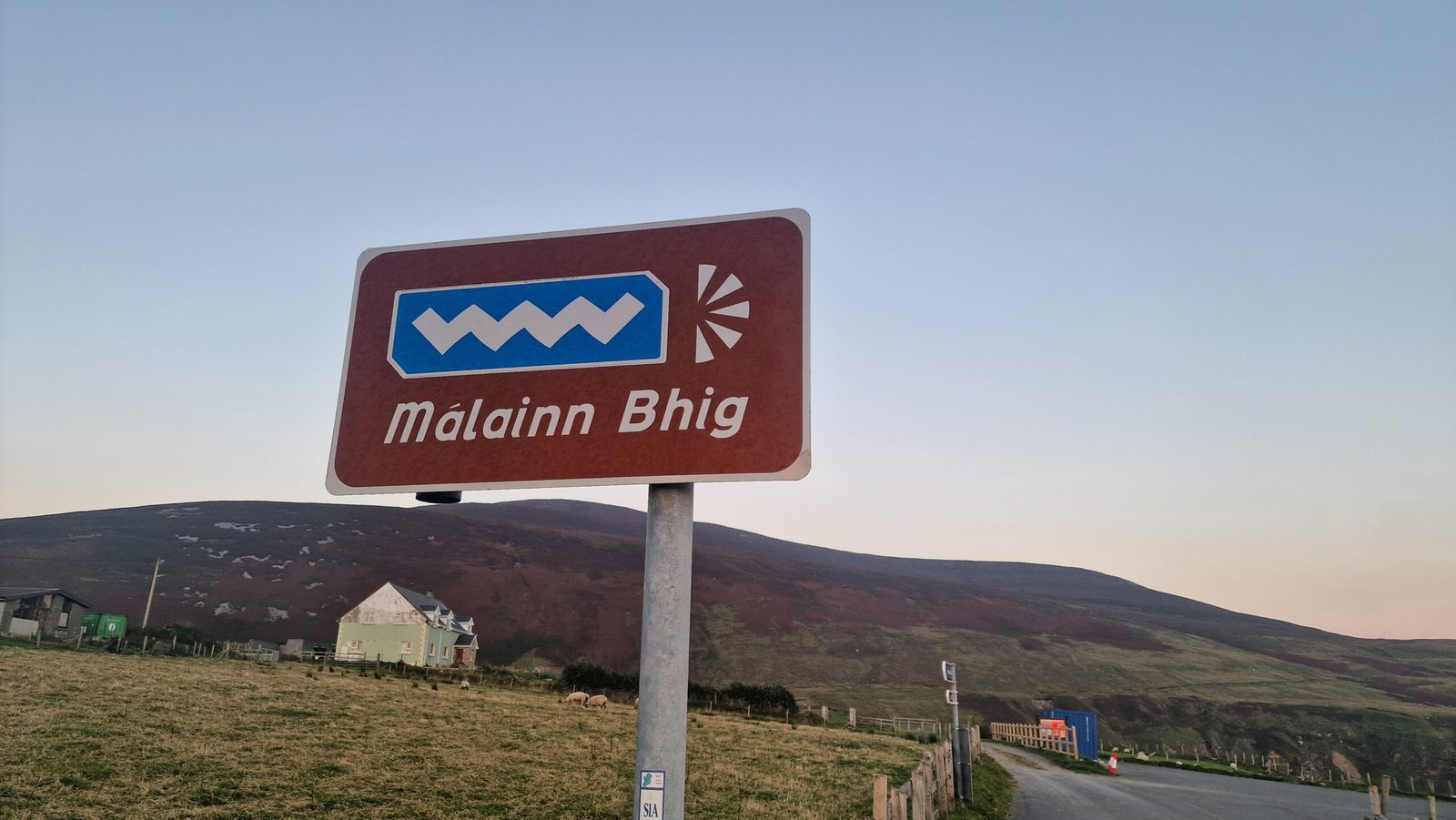
Malin Beg
County Donegal
Ireland
1 Night
Another glorious sunny day and we set off via the coastline to Assaranca Waterfall. Supposed to be a great free stop over by a waterfall.
This sort of travelling is not an A to B drive, its more of a A to B to C to D and so on, sometimes with some interim bits thown in. It can make the navigation more challenging as a sat nav will mostly take you either a quick or short route. Having said that the Wild Atlanic Way route is very well sign posted with a blue WAW sign with an indication depending weather you going in a North or South direction. And now I plot a series of destinations with make a complete days route plus Jo navigates using a map 🤭…what can go wrong?
Our first stop for a hot chocolate and cake at Magheraroarty Pier where the ferry goes to Tory Island, the most remote inhabited island of Ireland and with a population of 141. The ferry takes no vehicles and we were told you can get stranded there if the weather turns. So we had our refreshments, emptied the toilet cassette as there was a handy elsan point there, and carried on our way.
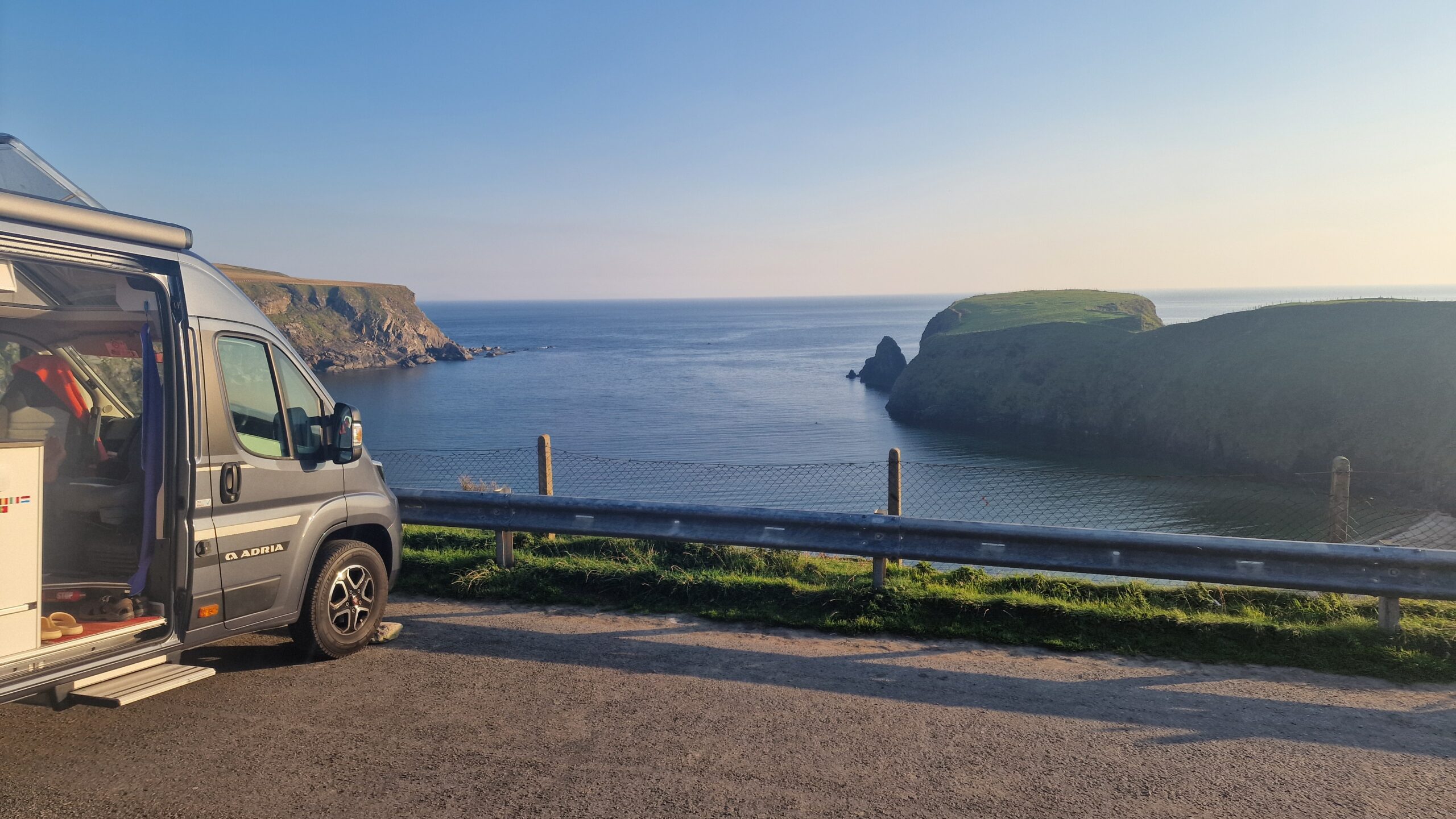
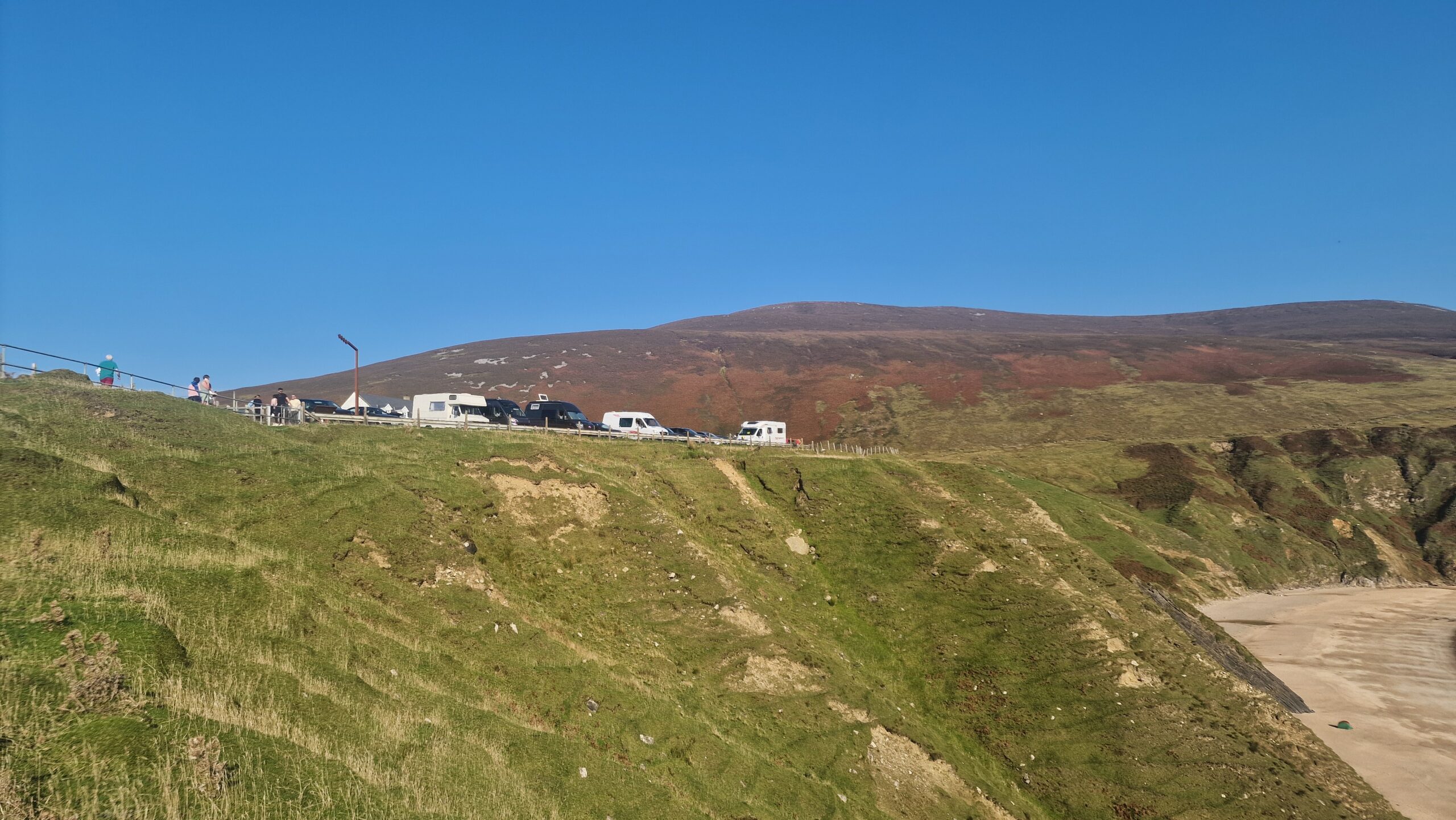
The road to the waterfall was down 4 miles of single track twisty up and downy road. When we got there it was shut and looked liked it was having works carried out. A quick replan and we made tracks for a park up on the cliff tops of Malin Beg overlooking the cove. A reasonably adventurous route took us over some steep inclines and up to the top of the bay.
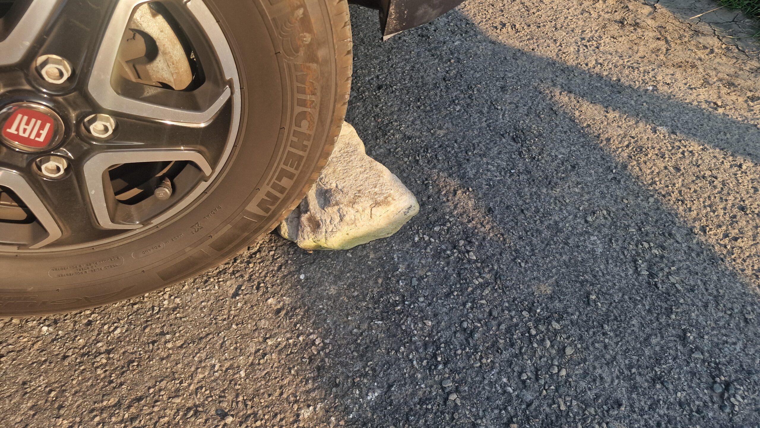
A late lunch on a very uneven spot and then walked down the many (170) steps to the beach. And yes I got to swim in the sea!